

Property owners and homeowners
Understanding boundaries, parcels, and the land around a property.
We build tools that make parcel data, property boundaries, ownership details, and location context easier to access, understand, and use.
Land data can be fragmented, technical, and hard to use. Our story is about making that information more accessible — turning property boundaries, ownership records, property details, and location context into tools people can use in everyday decisions.
Parcel boundaries, ownership, history, and acreage from county sources.
Spatial layers that turn flat records into something people can see on the land.
Search, measure, save, and share — built for real land moments.
Better answers at the desk, in the field, and everywhere in between.
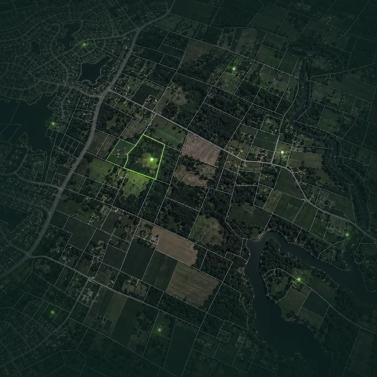
LandGlide is built by ReportAll, a geospatial data company that sources and standardizes nationwide land data.
ReportAll provides parcel data products and services built for individual users, businesses, developers, GIS teams, and enterprise workflows.
ReportAll’s data represents over 99% of the U.S. population and includes 3,229 U.S. counties.
From APIs and enterprise data layers to LandGlide’s on-the-go app experience, ReportAll makes parcel data easier to access, connect, and use.
People use our tools for property research, client conversations, site planning, land management, field work, and everyday questions about the land around them.
Understanding boundaries, parcels, and the land around a property.
Bringing property context into client conversations, showings, and listing appointments.
Using parcel data while planning, walking, and working on land.
Supporting multiple users with shared access to parcel information.
From property owners to field professionals, people rely on our tools to make land information easier to access, understand, and use.
“Best property and land app I have found so far. It is very accurate and super informative. If you’re looking for an app to tell you everything about any piece of property down to who the property owner is, how much land is calculated and also deeded, if it is owner occupied or not, and much more this should be your go to app.”
“This is one of my favorite apps. I work in real estate, so I use it constantly to help my clients. I also find myself curious about acreage, owner info, or surrounding property owners/zoning etc. I also use it multiple times a week in my personal life for various reasons.”
“I love LandGlide. It’s the best, most informative, helpful app. It has saved me many countless hours of searching, while researching the person(s) who hold the deeds. It has helped me join many people together, who would have otherwise not been able to meet, to either sell or split their properties.”
Our leadership brings together experience in spatial data, product, technology, and customer-focused tools for land and property information.

Jordan Reyes
Chief Executive Officer
Jordan leads LandGlide’s vision and growth, helping turn complex parcel data into clear, practical tools that make finding, understanding, and working with land simpler for everyone.

Maya Patel
Chief Operating Officer
Maya keeps the day-to-day running, from how parcel data reaches the app to how support reaches the people using it in the field.

Sam Lin
Chief Technology Officer
Sam looks after the platform the maps run on, so boundaries, ownership and location load quickly wherever the work is happening.

Elena Martinez
Chief Marketing Officer
Elena works on how LandGlide is explained, so the people who need a clear answer about a piece of land can find out that the tools exist.

Michael Turner
Chief Product Officer
Michael shapes what gets built next, turning what people run into on real properties into the features that answer it.
Have a question about LandGlide, ReportAll, partnerships, press, or general company information? Send us a message and we will route it to the right team.