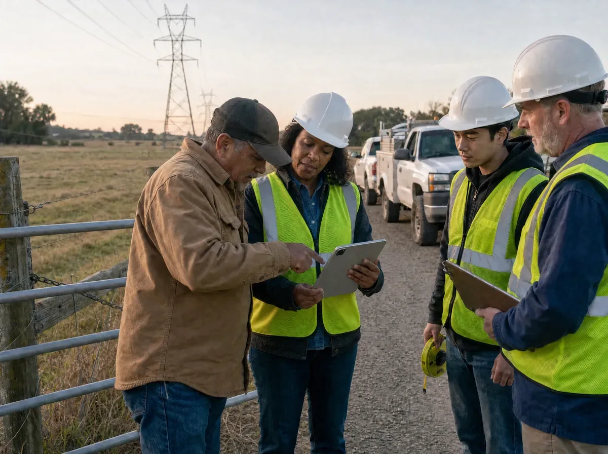
Faster research
Search by address, owner, or parcel ID, or browse the map using your GPS location to find the right parcel quickly.
When a line, route, or project crosses multiple parcels, understanding the land along the way matters. LandGlide gives you parcel lines, ownership, mailing addresses, land use, and other property details so you can evaluate access and prepare for what lies ahead before you reach the site.

Review the parcels, ownership, and surrounding land along the route before your crew heads out.
Review parcel lines, acreage, and terrain along the path of the work.
Review ownership details and mailing addresses for the parcels the work may affect.
Explore nearby roads and adjacent parcels to better understand potential ways to reach the site.
Stay on track along the route
When the work moves from the map to the field, open LandGlide to see which parcel you are on and keep the job moving.
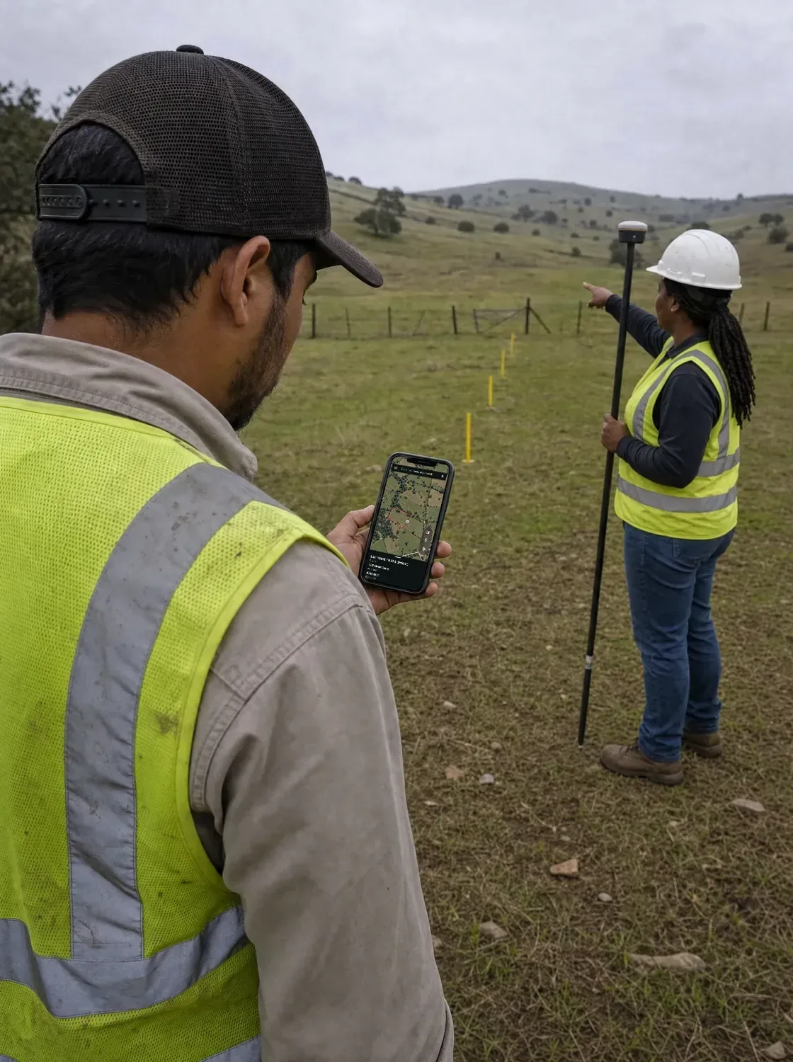
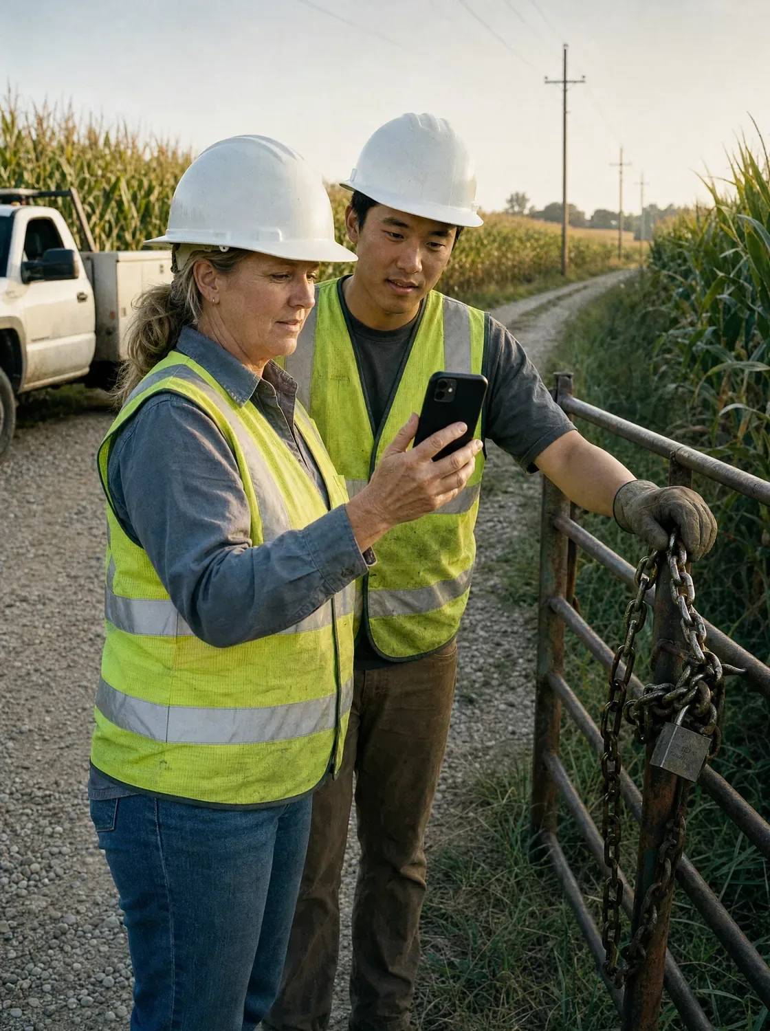
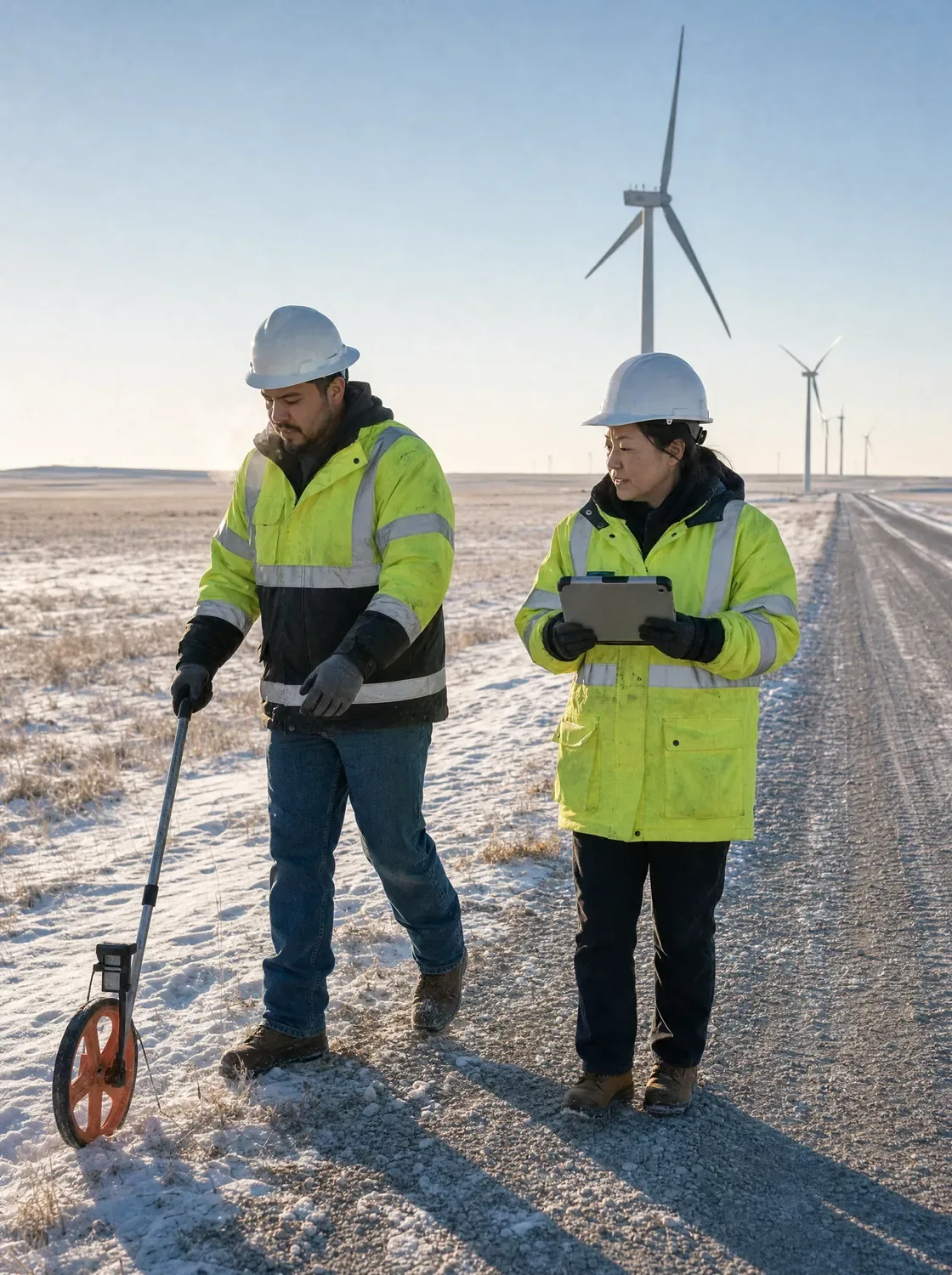
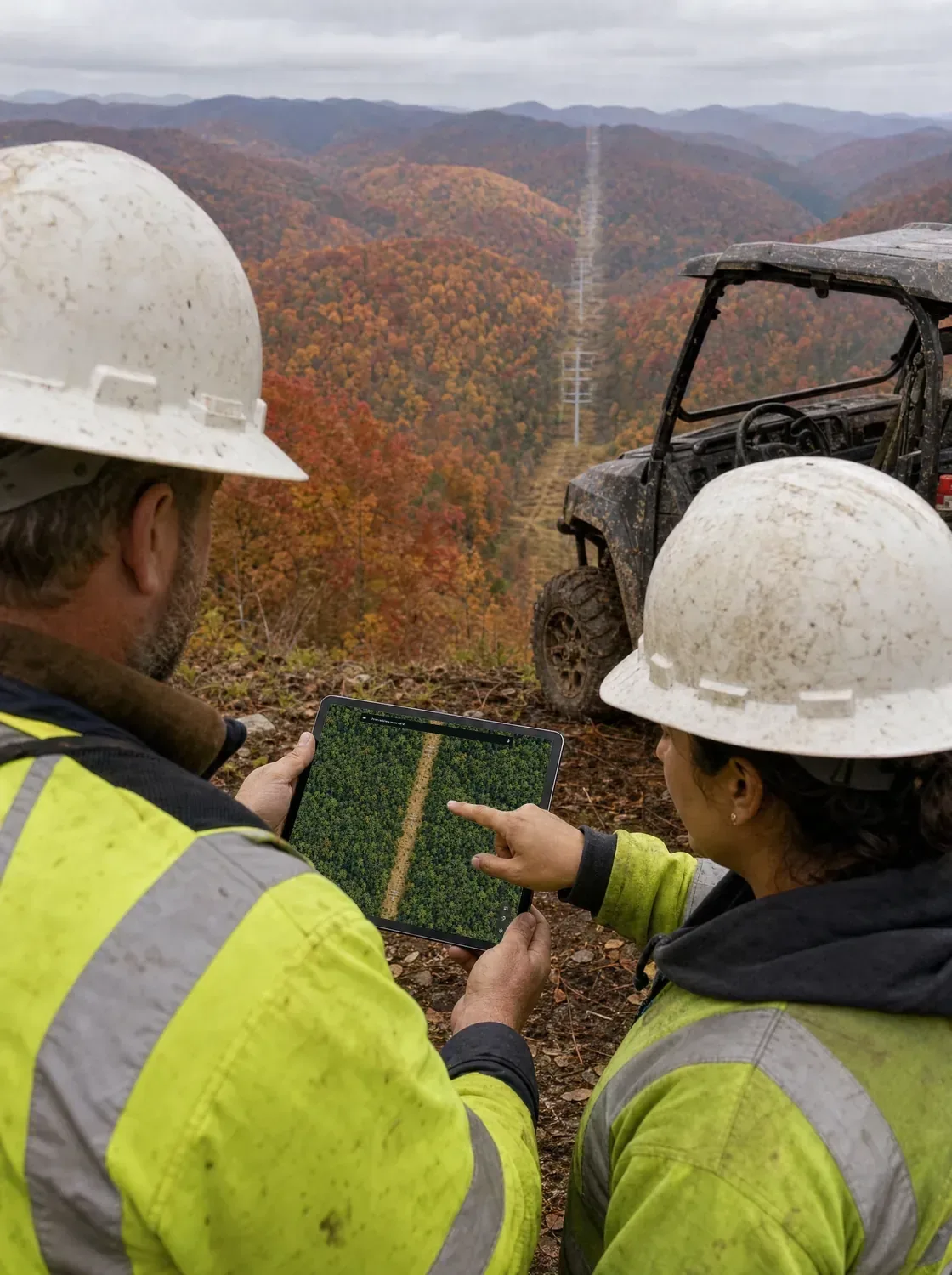
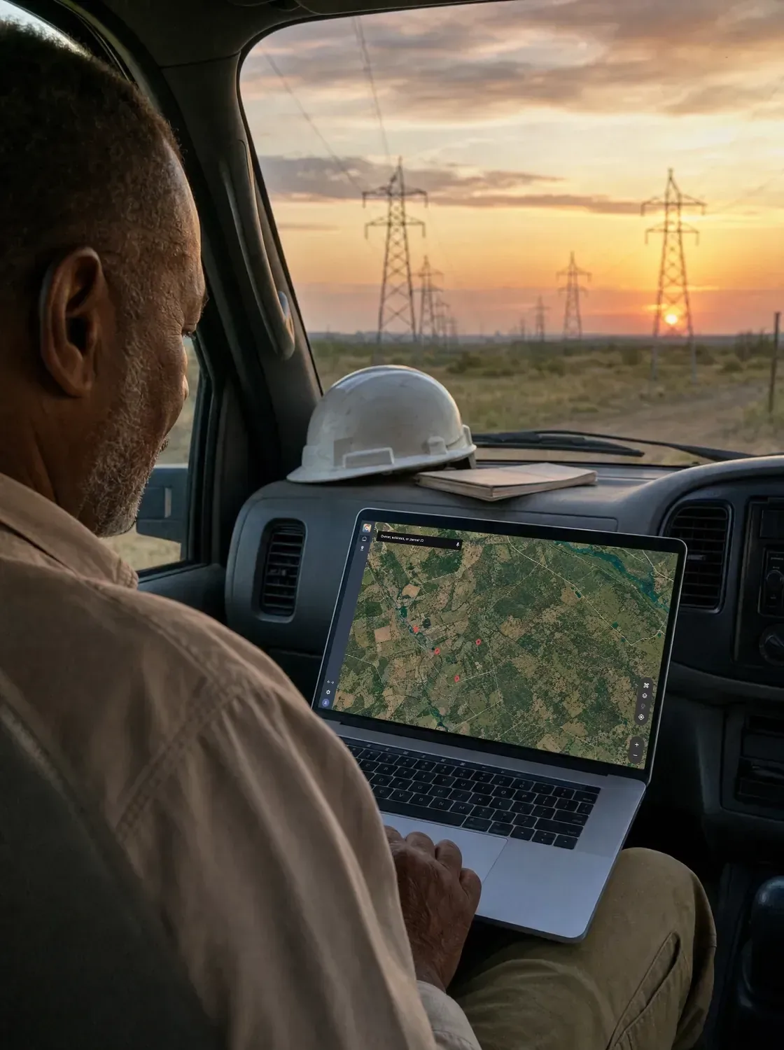
Keep the details from the field close so your next report, landowner conversation, or crew assignment can build on what you learned on site.
Reopen saved parcels and review boundaries, ownership, and other details when you need them.
Save locations and add notes and photos to keep track of access points, site conditions, and follow-up items.
Share or export saved parcel information so crews, land teams, and project managers can work from the same information.
LandGlide keeps saved locations, land cover, location, mailing address, sales history, value, building, address, and parcel ID.
Parcel context for the whole team
For utility and energy professionals, the value goes beyond having parcel data. LandGlide helps you understand the land a project crosses, identify ownership, and keep important details close from early planning through fieldwork.
Search by address, owner, or parcel ID, or browse the map using your GPS location to find the right parcel quickly.
Review parcel lines, ownership, and terrain before crews are on site.
Give your entire team access through a LandGlide Corporate Account, with centralized billing and account management.
Save and share parcel details, notes, and photos so everyone can work from the same information.
A clearer understanding of parcel boundaries, ownership, and surrounding land helps crews arrive better prepared, navigate the site with greater confidence, and have more informed conversations with landowners.