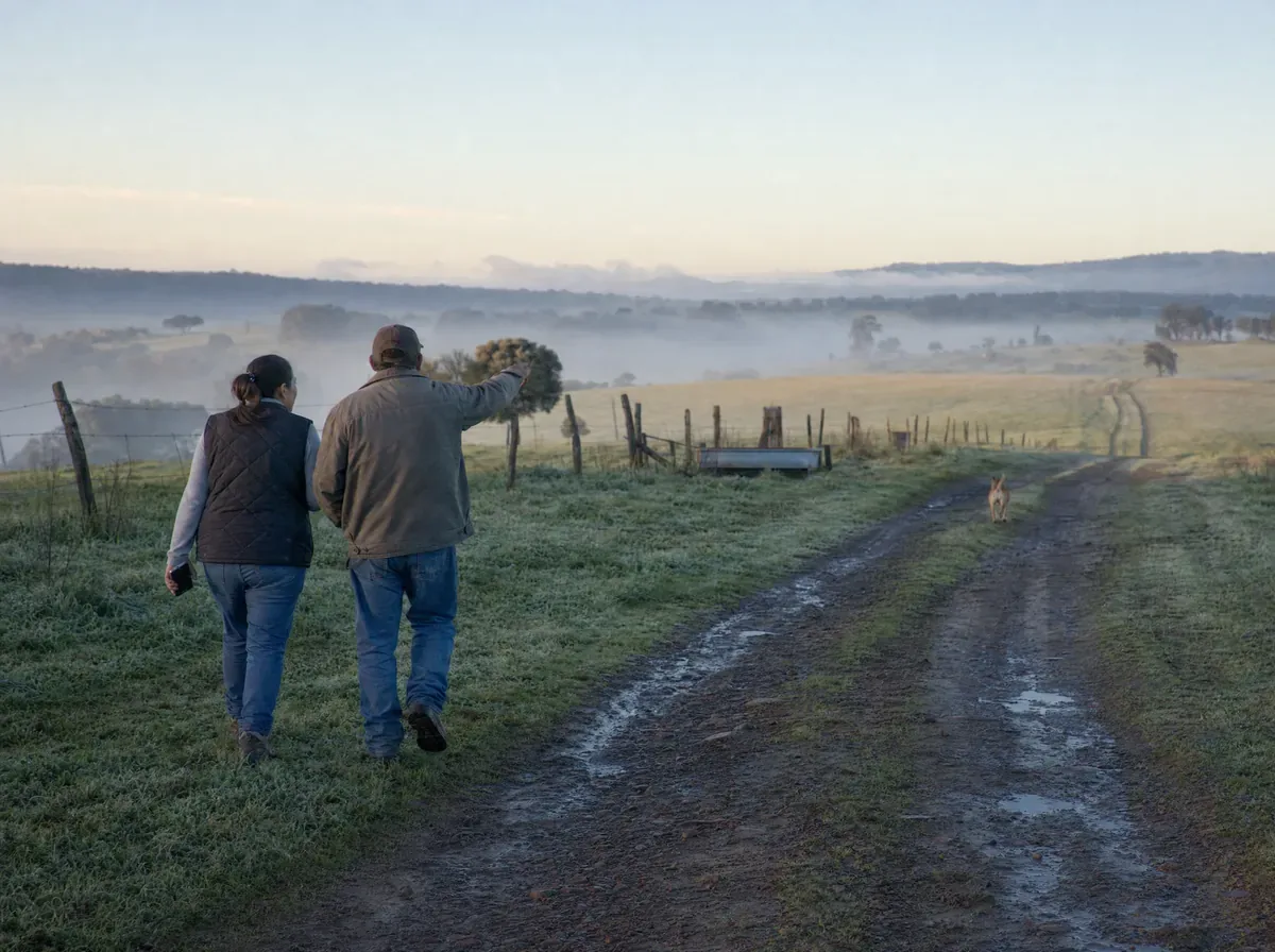
Clearer boundaries
View mapped parcel lines and surrounding parcels to better understand where you are and what is around you.
In farmland, timberland, and open country, the details that matter are not always visible on the ground. LandGlide gives you access to parcel lines, ownership, acreage, and other land details in the field, even when you are working offline.
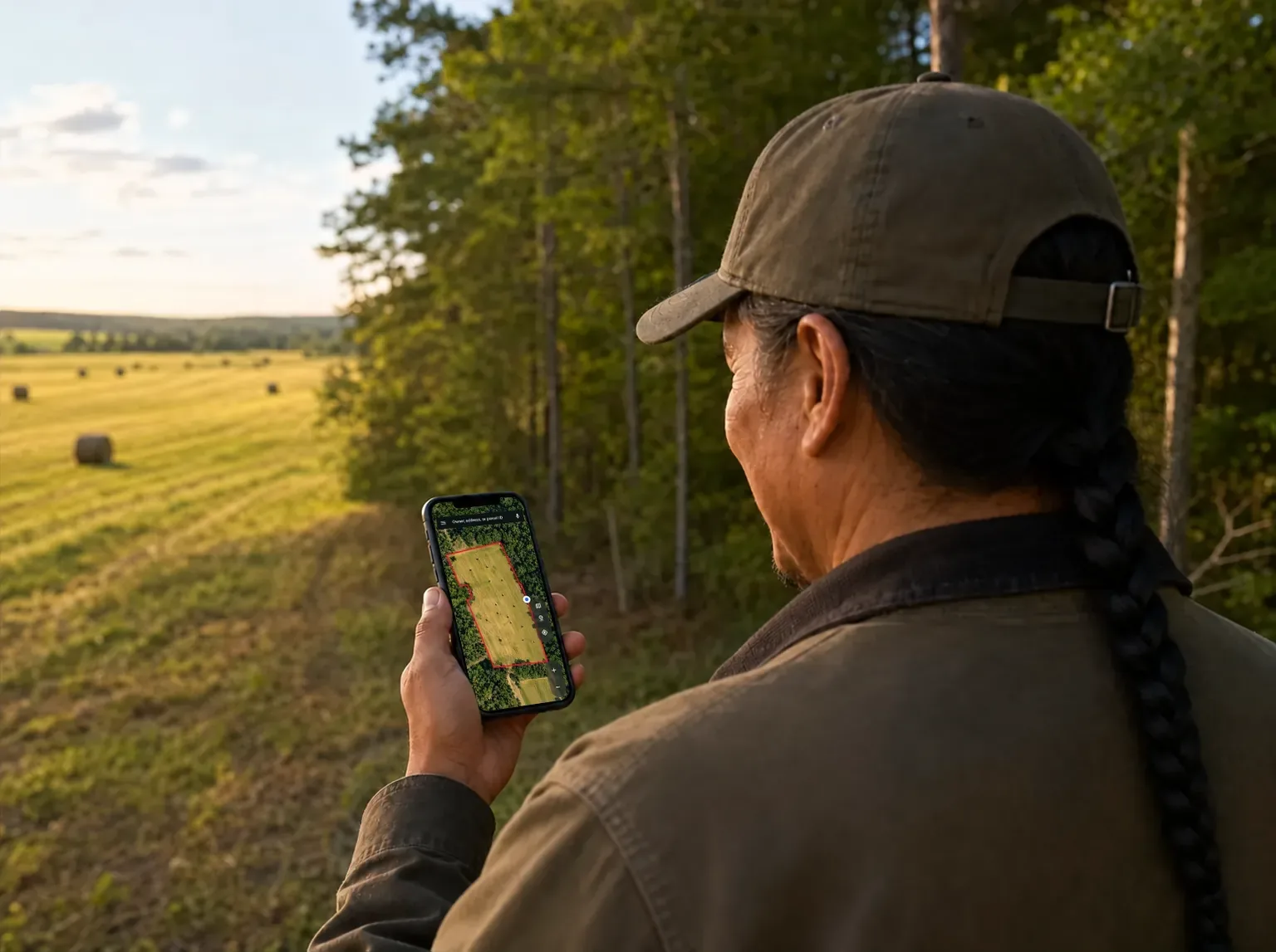
Review the parcel, ownership, terrain, and surrounding land before you head out.
Review parcel lines, acreage, and terrain before you arrive.
Explore neighboring parcels to see how the land fits together and who owns the property around you.
Save the parcels and locations you plan to visit, and download Offline Maps while you still have a connection so you can access them once you are in the field.
Stay oriented on the ground
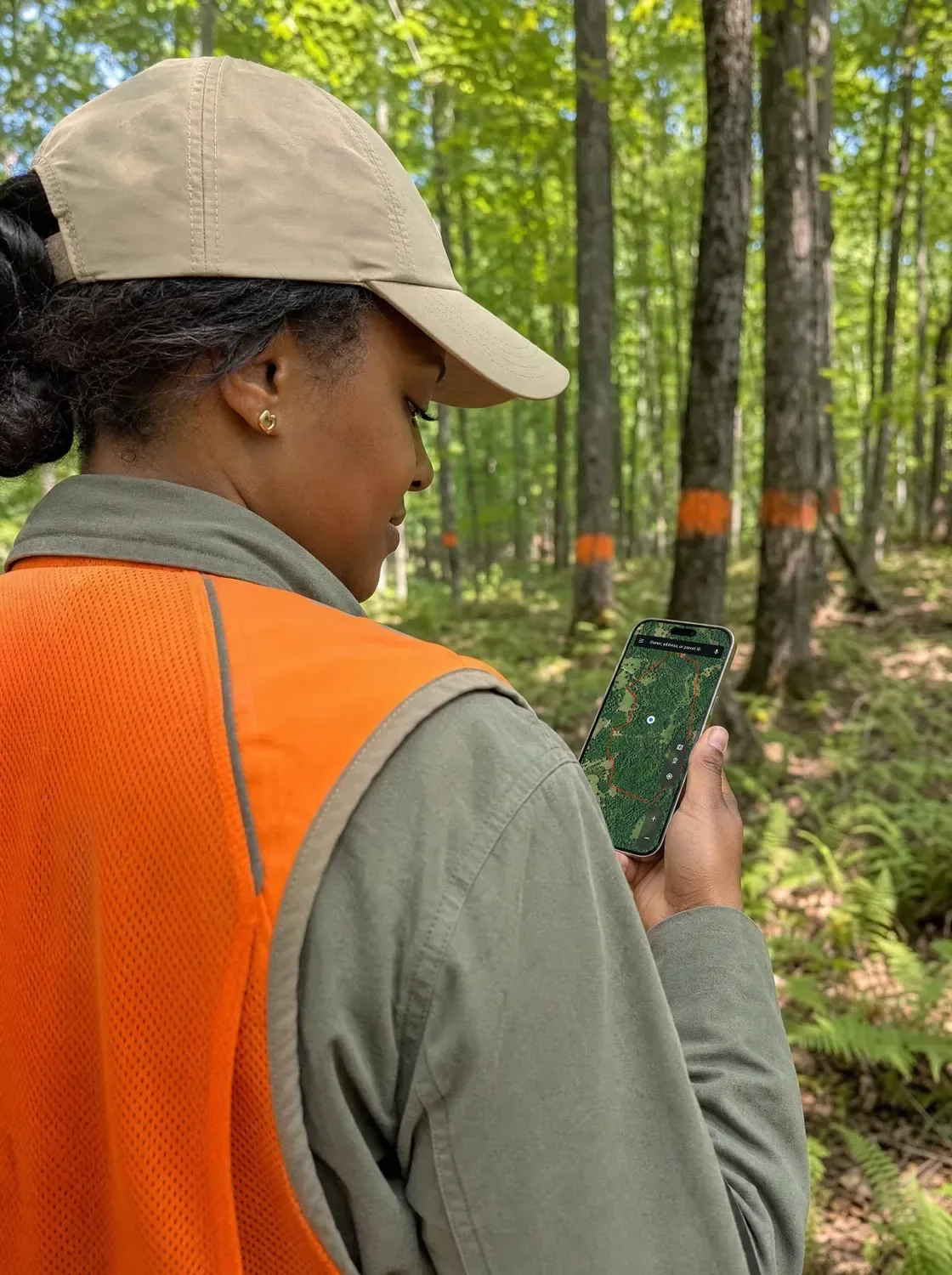
When the landmarks start to look the same, open LandGlide to find your location and keep moving with the parcel context you need.
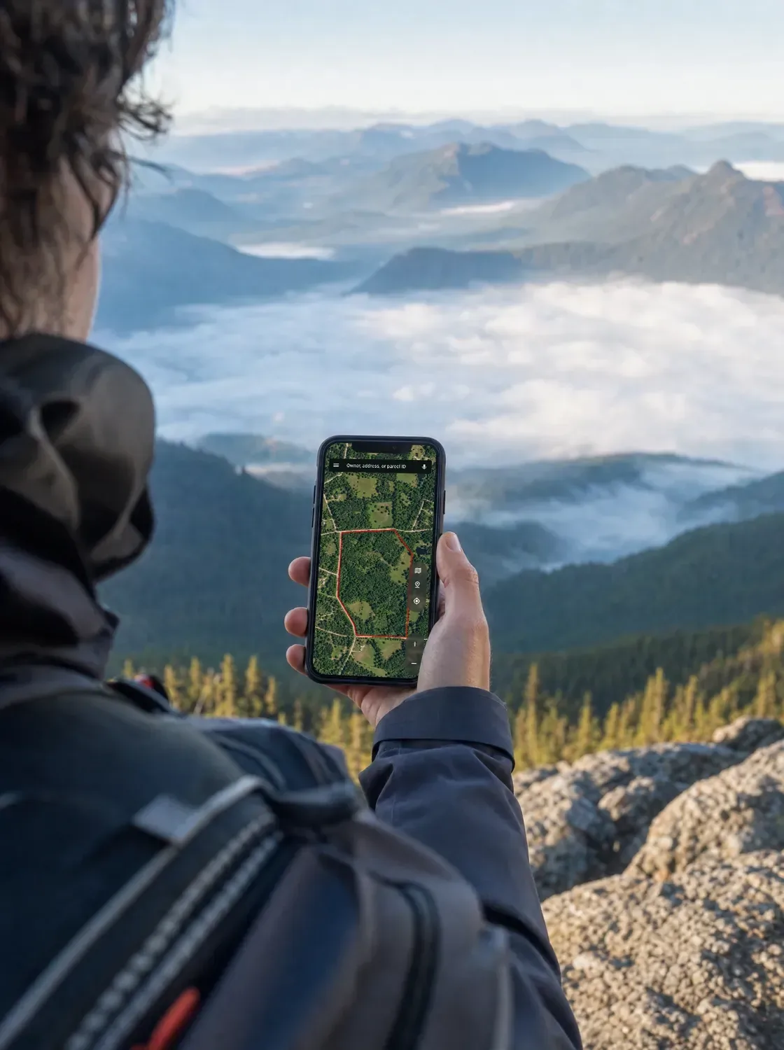
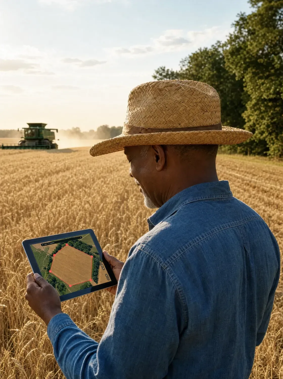
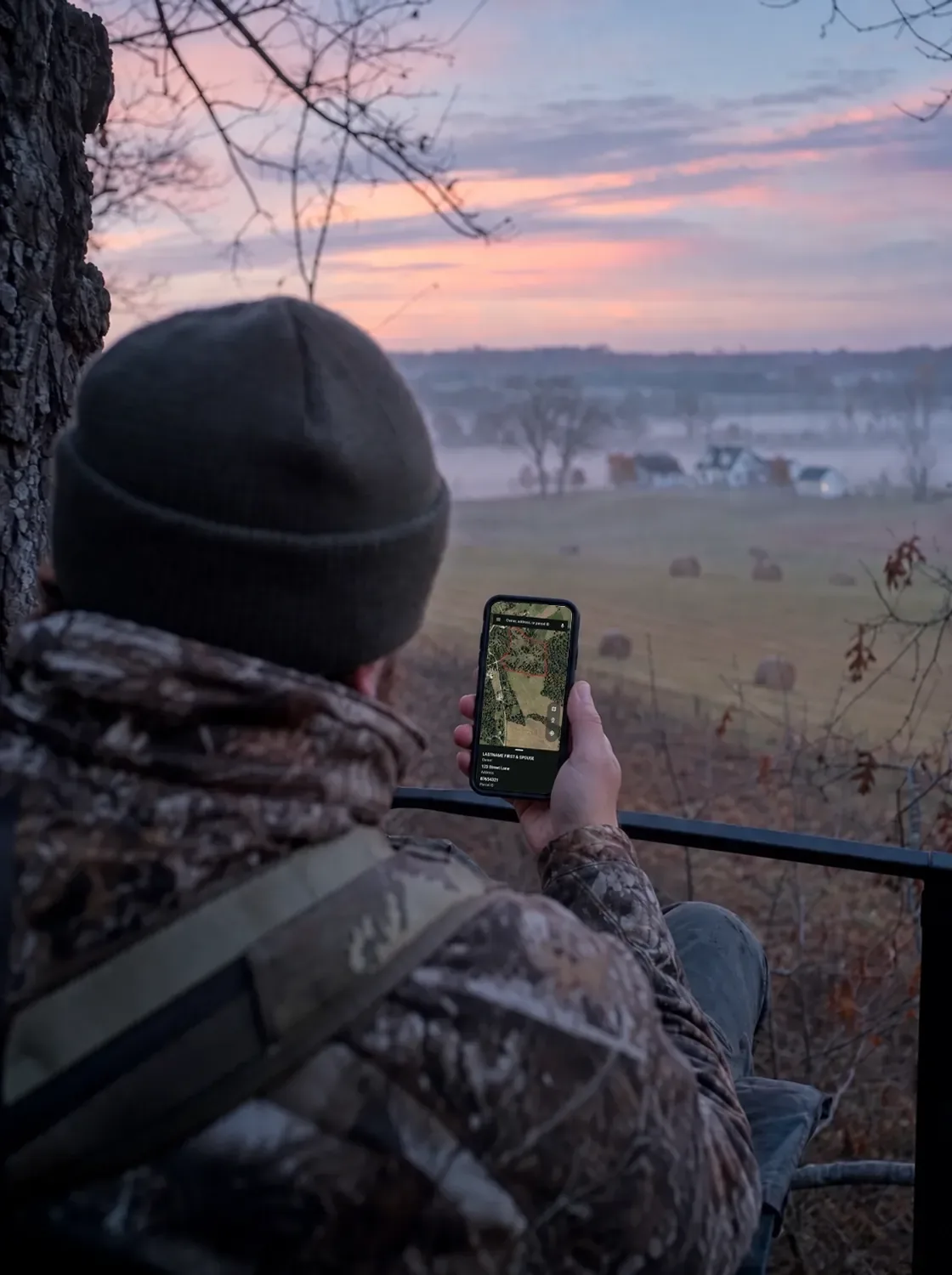
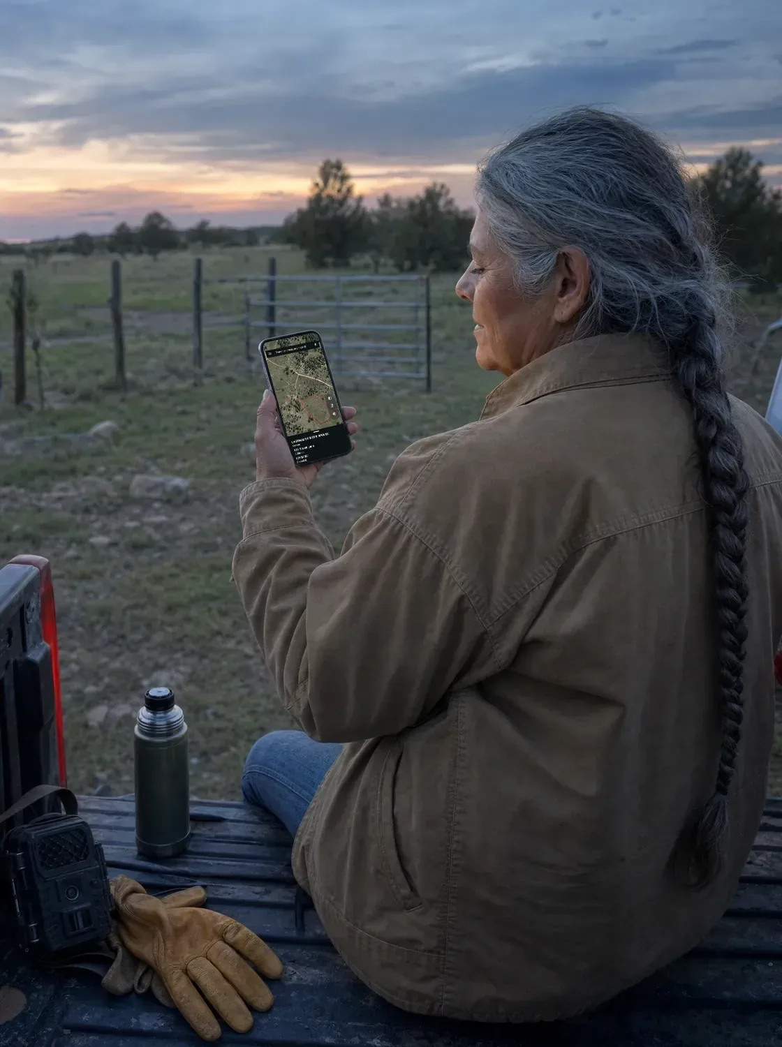
Keep the details from the field close so your next visit, plan, or conversation can build on what you found.
Reopen the parcel and review its boundaries, ownership, acreage, and other details when you need them.
Drop pins, save locations, and add notes and photos to document gates, trails, stands, or areas that need attention.
Use what you learned to plan your next visit, share details with others, or prepare for the next conversation about the land.
LandGlide keeps saved locations, land cover, location, mailing address, sales history, value, building, address, and parcel ID.
Land context that goes where you go
For people who work, manage, or spend time on the land, the value goes beyond having parcel data. LandGlide helps you understand the land around you, stay oriented, and keep important details close, even when you are off the grid.
View mapped parcel lines and surrounding parcels to better understand where you are and what is around you.
Use downloaded Offline Maps to keep important parcel information available when an internet connection is unavailable.
Review ownership details and mailing addresses for the parcels you are on or near.
Save locations, notes, and photos so you can easily return to what you found in the field.
Knowing where you are and what surrounds you changes how you work across the land. With parcel information available in the field, you can stay oriented and make better-informed decisions, even when you are offline.