

01
Find the parcel faster
Search by address, owner name, parcel ID, or current location to get to the right property quickly.
Search, view boundaries, uncover ownership details, measure, save, and share parcel information, all from one connected map experience.

Every parcel starts with a question. Find the right property, understand what you’ve found, and move forward with clarity.
Search by address, owner name, parcel ID, or current location to get to the right property quickly.
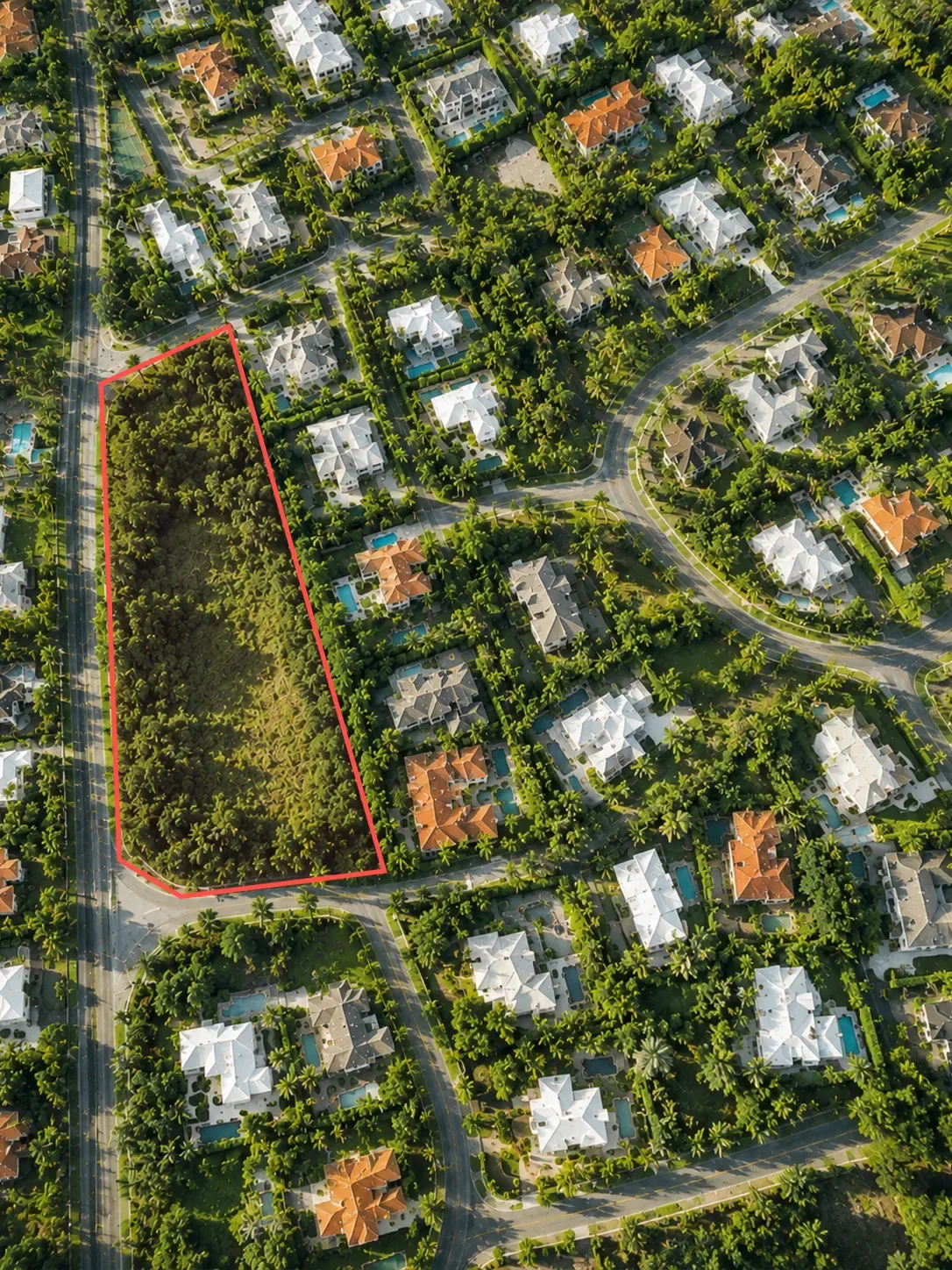
View property lines, ownership details, acreage, square footage, mailing address, sale price, transfer date, and other key parcel information in one place.
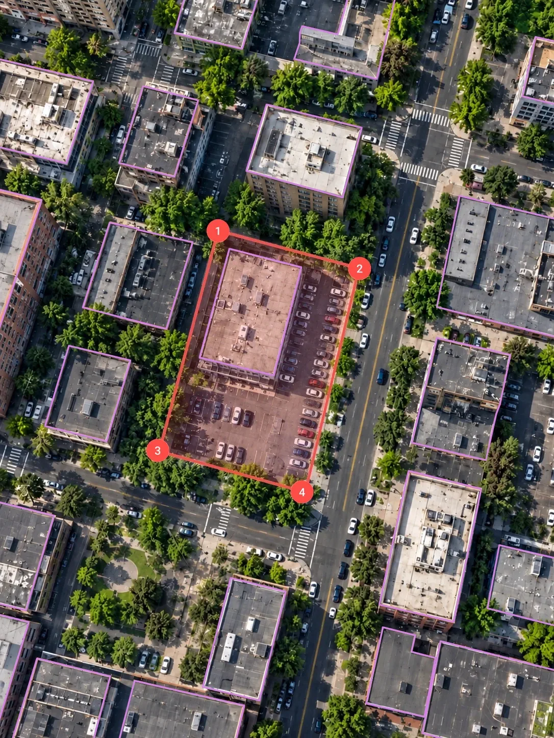
Use GPS, measurements, map views, labels, and available overlays to stay oriented, check distances, estimate areas, and understand what’s around you while you work.
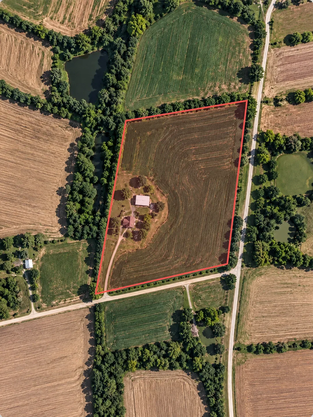
Save locations, add context, upload photos, and export saved data so you can return to important parcels, compare properties, or share information with others.
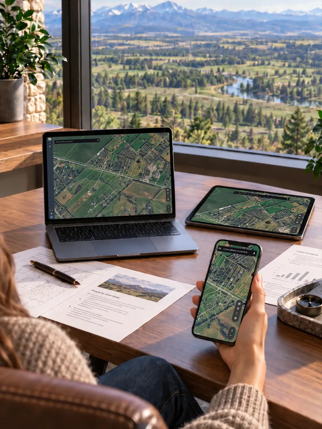
Plan with a wider view, review details on the go, and carry parcel boundaries, ownership data, measurements, and saved places wherever the work takes you.
From researching a parcel to walking the land and sharing what comes next, we turn parcel data into clear, useful context.
Review ownership, boundaries, and parcel details so you know exactly what you're looking at.
Use GPS, measurements, map layers, and parcel lines to stay oriented while you're on site.
Save locations, add notes, and keep important parcels easy to find when you need to come back later.
Share or export parcel information so clients, teammates, or stakeholders stay aligned.
Parcel data is only useful when people can understand where it comes from, how it connects, and how to use it in the moment. We bring boundaries, ownership details, property records, and location context together in one clear map experience.