Flood Zones
 Contours
 Buildings
 Dimensions

Faster site research
Search by address, owner, or parcel ID, or browse the map using your GPS location to find the right parcel quickly.
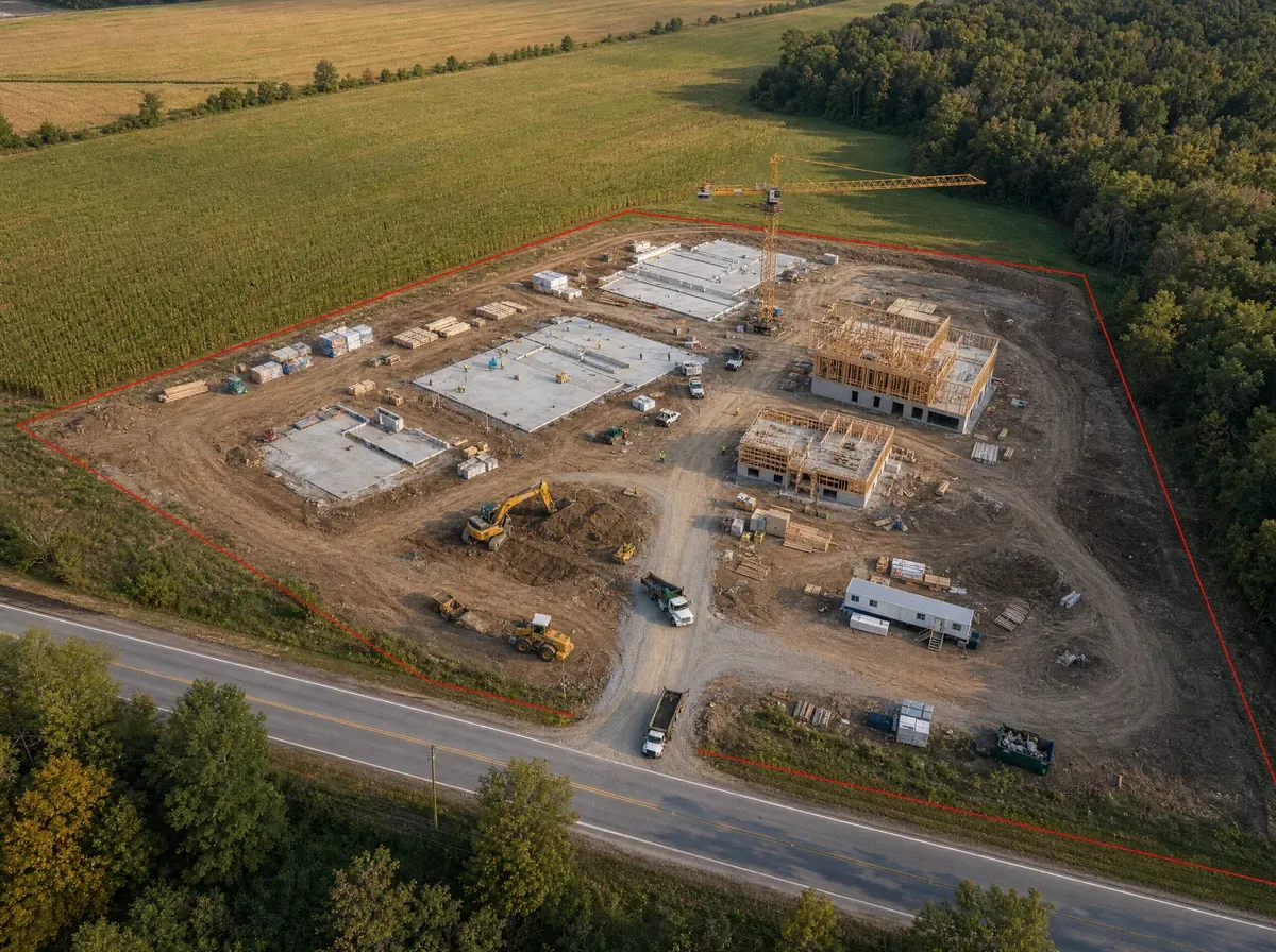
Before you commit to a site, design, or bid, understand the parcel first. LandGlide puts parcel lines, acreage, ownership, land use, terrain, and other property details in one place so you can evaluate the site earlier and make better-informed decisions before time and money are on the line.
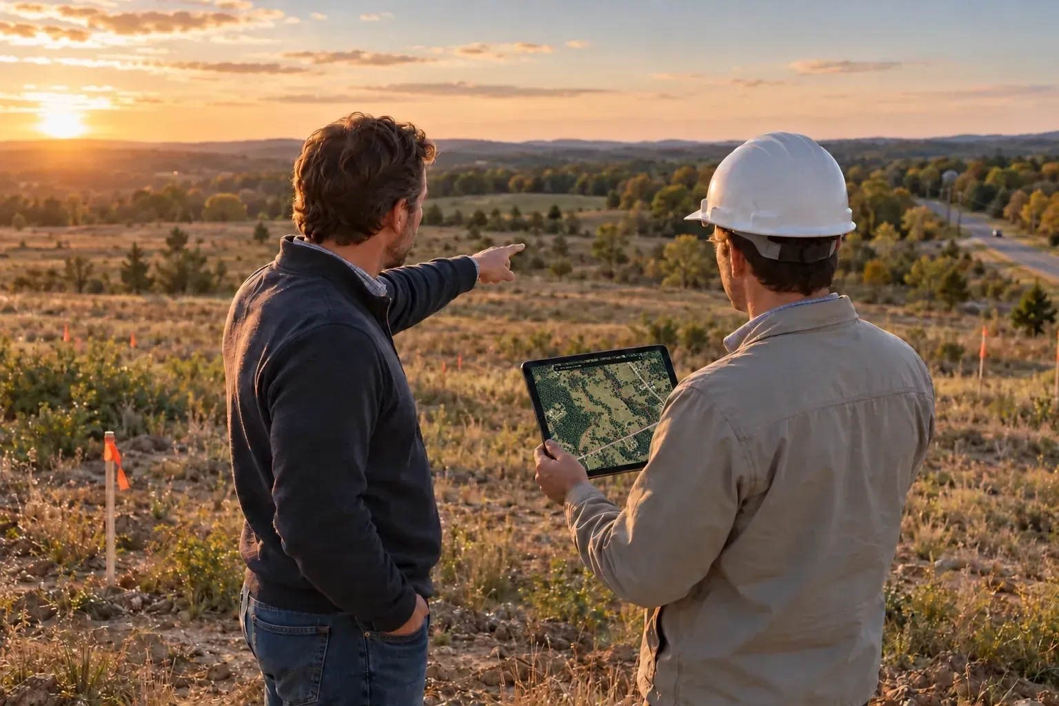
Review the parcel, ownership, terrain, and surrounding land before you head to the site.
Review parcel lines, lot shape, dimensions, and acreage before you start planning.
Explore adjacent parcels, land use, and terrain to see how the site fits into the surrounding area.
Review ownership, mailing address, sales history, and value before investing any more time in the site.
Get your bearings on site
When planning moves into the field, open LandGlide to review the parcel, orient yourself on site, and keep the site walk moving.
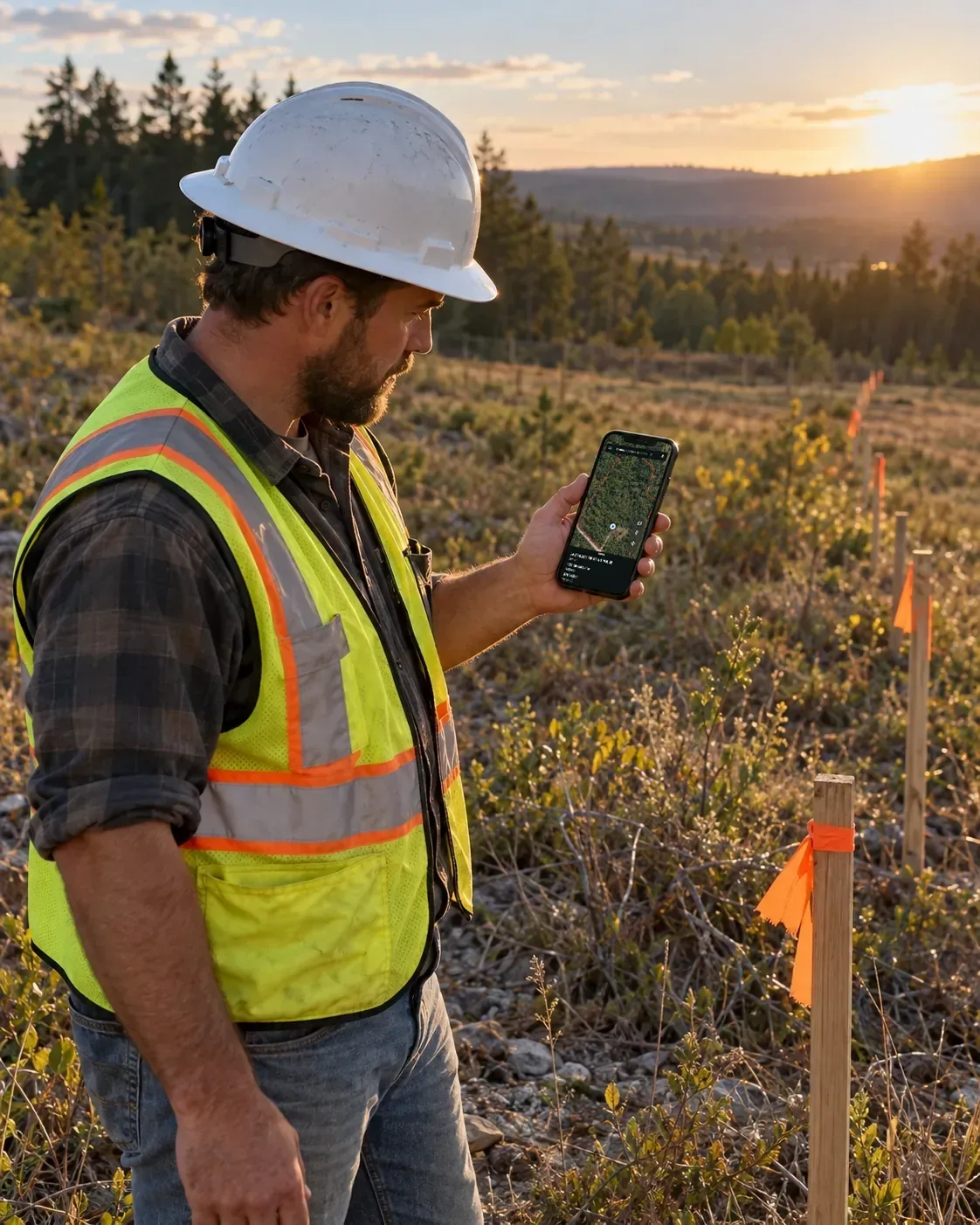
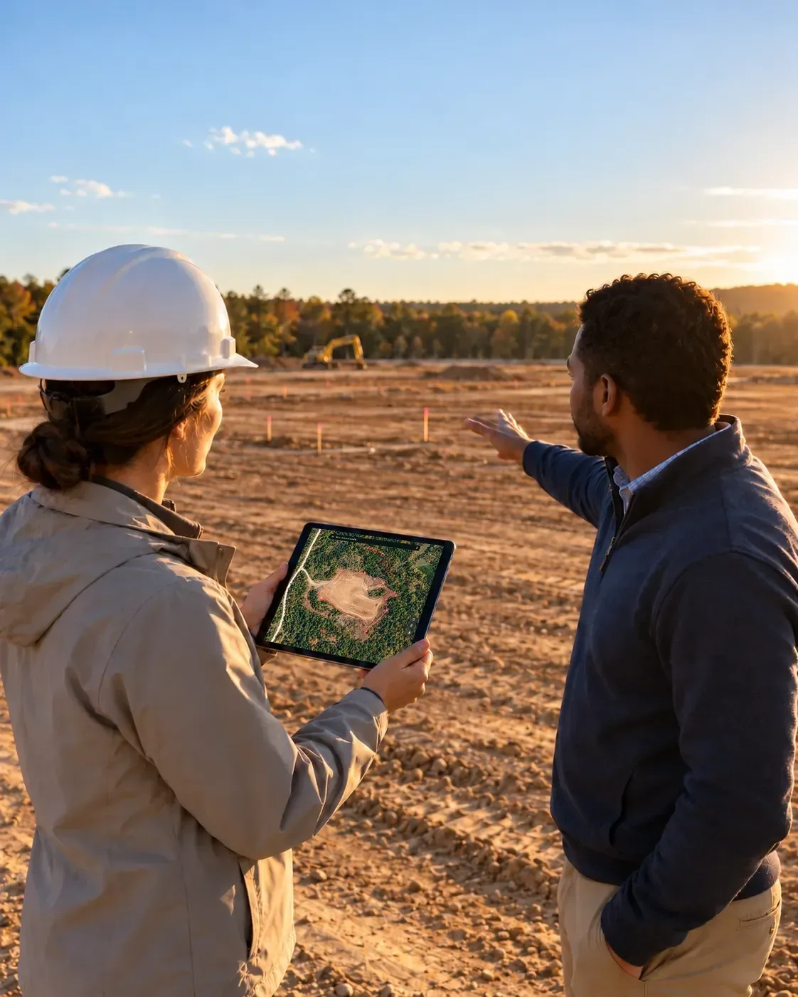
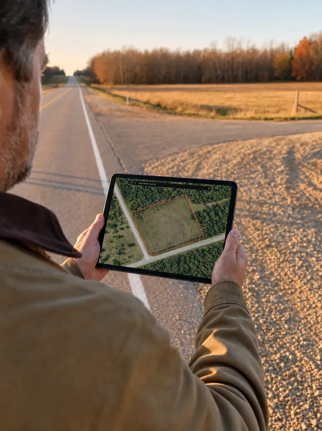
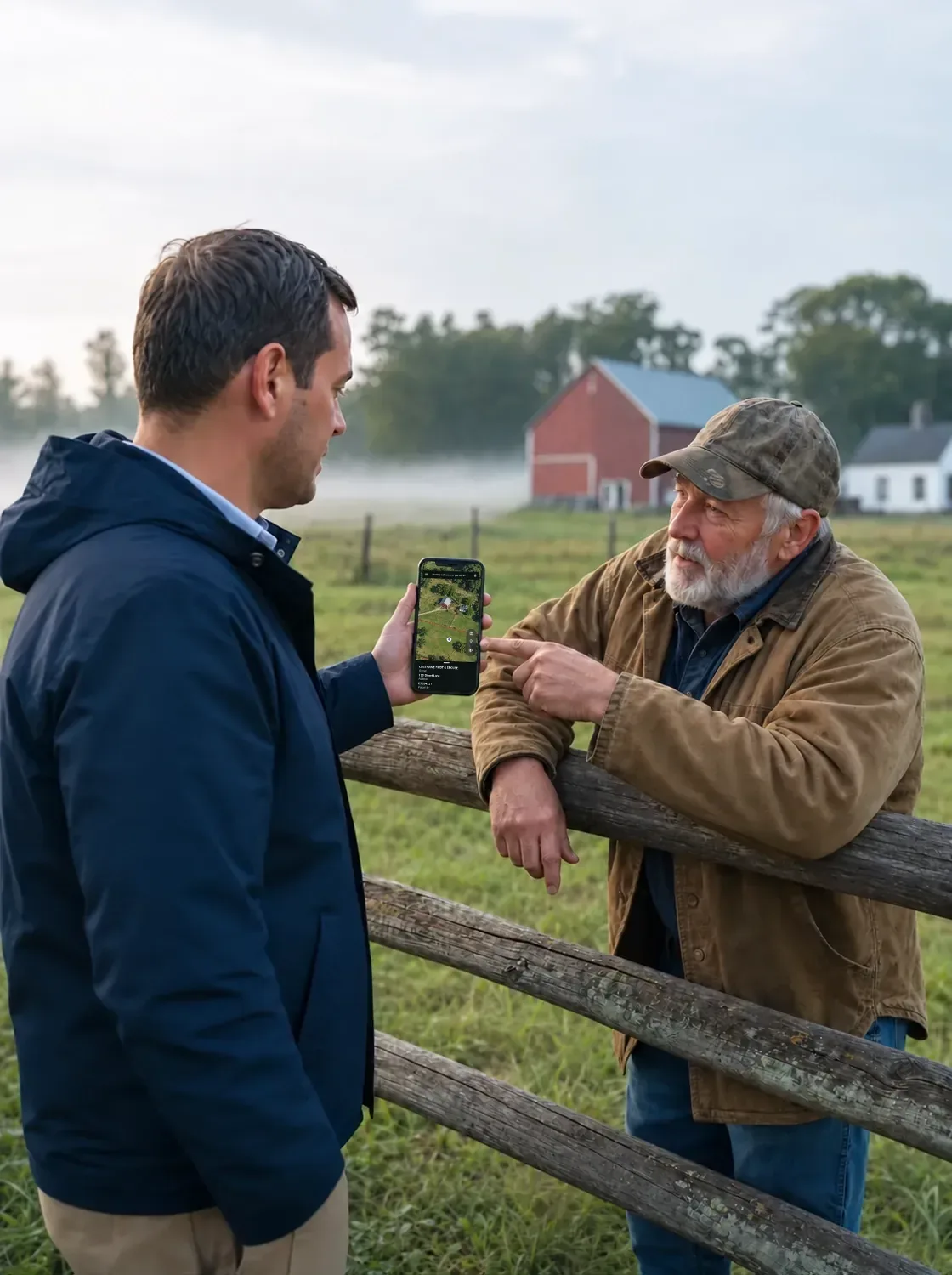
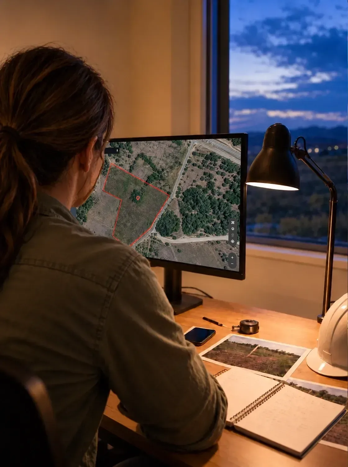
Keep the details from the site visit close so your next plan, bid, or project discussion can build on what you learned in the field.
Reopen the parcel in LandGlide on the web to review boundaries, dimensions, terrain, and other details as you plan the next step.
Revisit saved locations and add notes and photos so you can quickly recall the details that shaped the plan.
Share or export saved parcel information to help keep your team, partners, and stakeholders aligned.
LandGlide keeps saved locations, land cover, location, mailing address, sales history, value, building, address, and parcel ID.
Better information, earlier in the project
For construction and land development teams, the value goes beyond having parcel data. LandGlide helps you find the right site quickly, understand the land around it, and keep important details close from early planning through field work.
Search by address, owner, or parcel ID, or browse the map using your GPS location to find the right parcel quickly.
Review parcel lines, acreage, land use, and terrain early so potential issues are easier to identify before you go deeper.
Share saved parcels, notes, and other site details so everyone involved can work from the same information.
Review parcels on the web, then take saved locations and site details with you in the field.
Parcel context early in the project helps your team make better-informed decisions before time, money, and crews are committed.