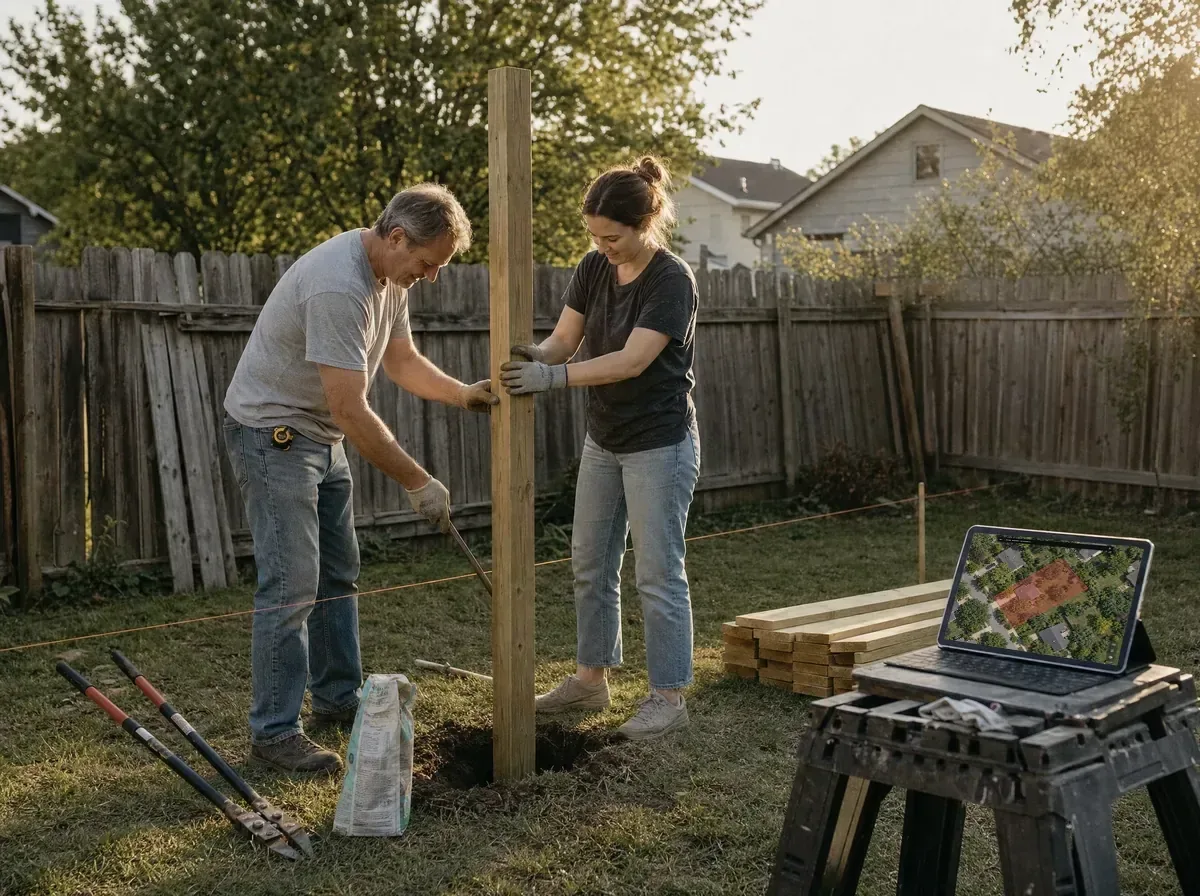
Better boundary context
View mapped parcel lines and neighboring properties to better understand how your property relates to the land around it.
Whether planning a fence, planting trees, or deciding where a new pool might go, it helps to understand the land you are working with. LandGlide offers a clearer view of mapped parcel lines, lot size, and nearby properties so you can start with better context before the work begins.
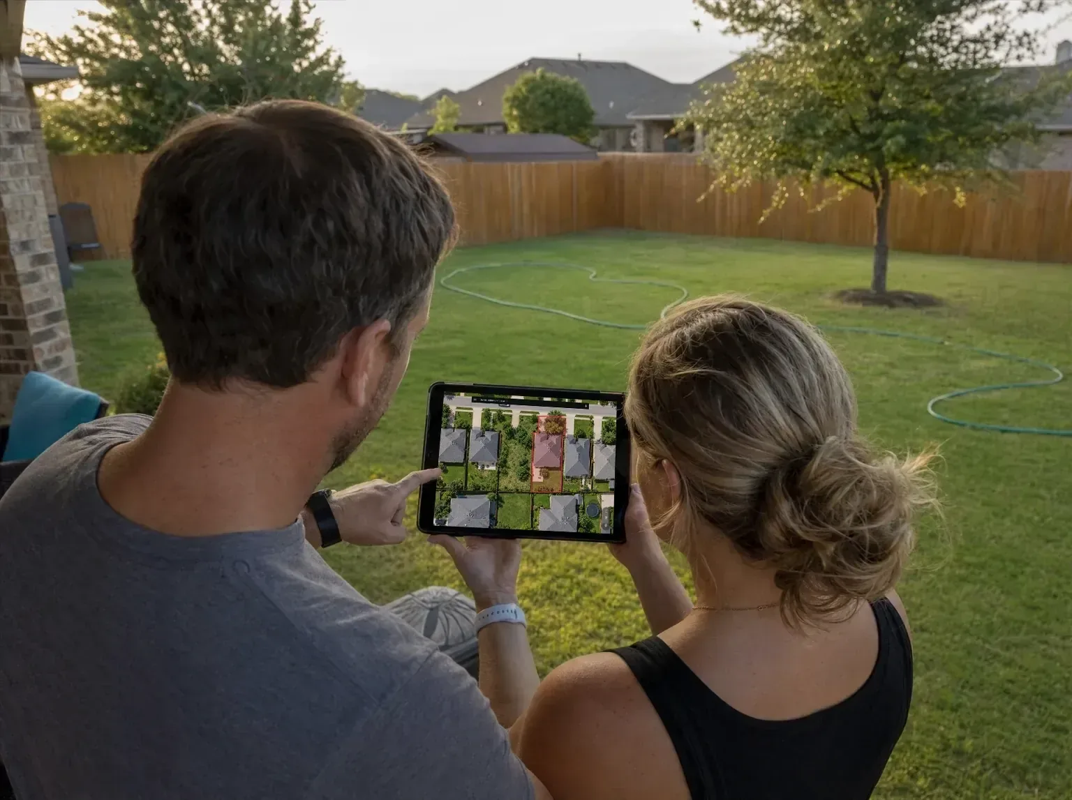
Review your lot, mapped parcel lines, and nearby properties before you plan your next project.
Review mapped parcel lines, lot shape, and acreage before you start planning.
Explore neighboring parcels to better understand how your property relates to the land around it.
Review lot size, ownership, land use, and other parcel details that may help you plan the project.
Work with the land in view
When a project moves from an idea to the backyard, open LandGlide to review your parcel and keep important property context close as you work.
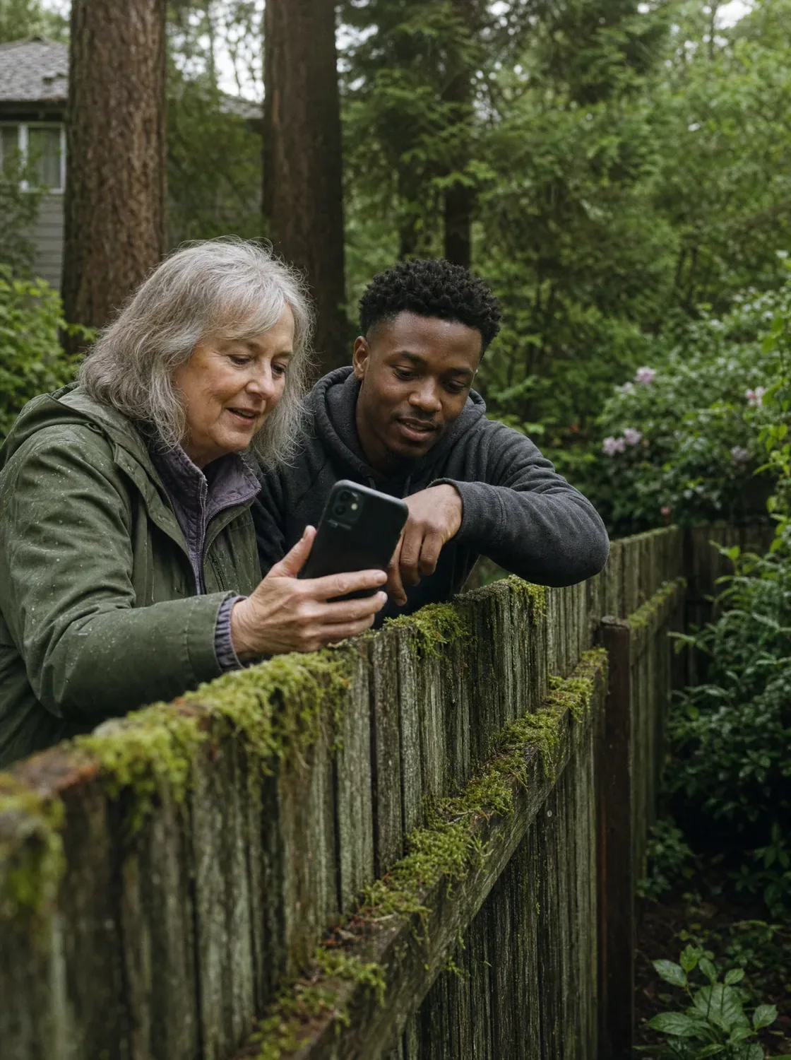
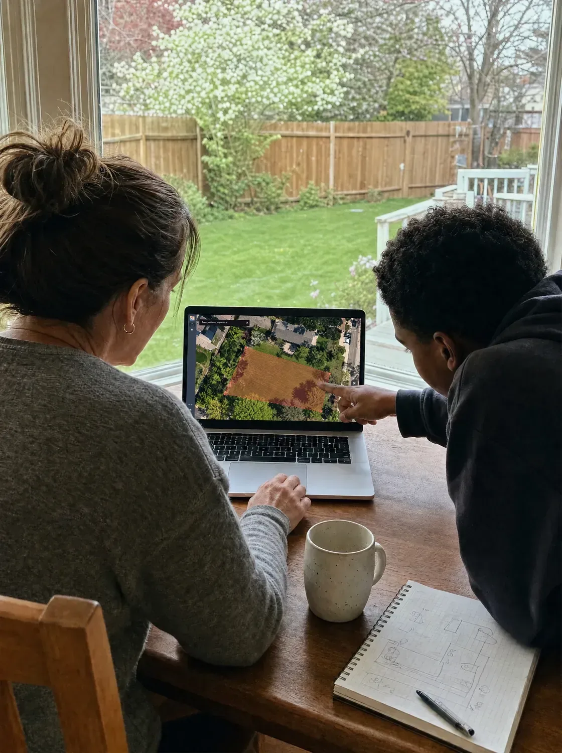
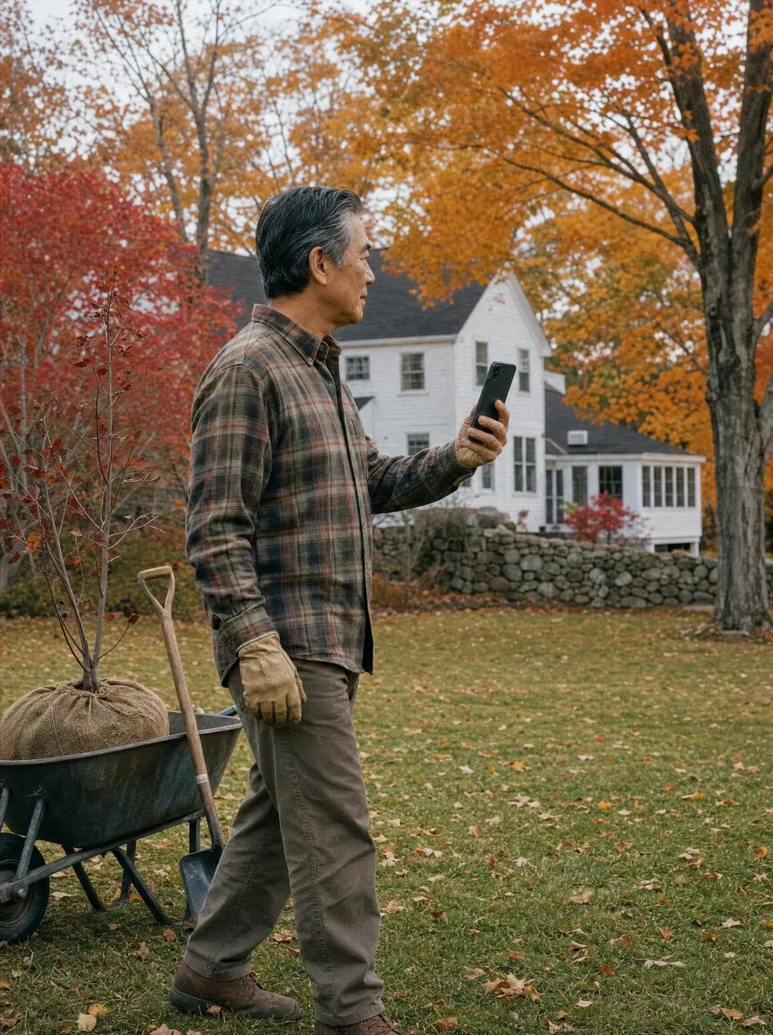
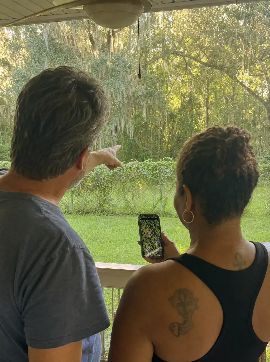
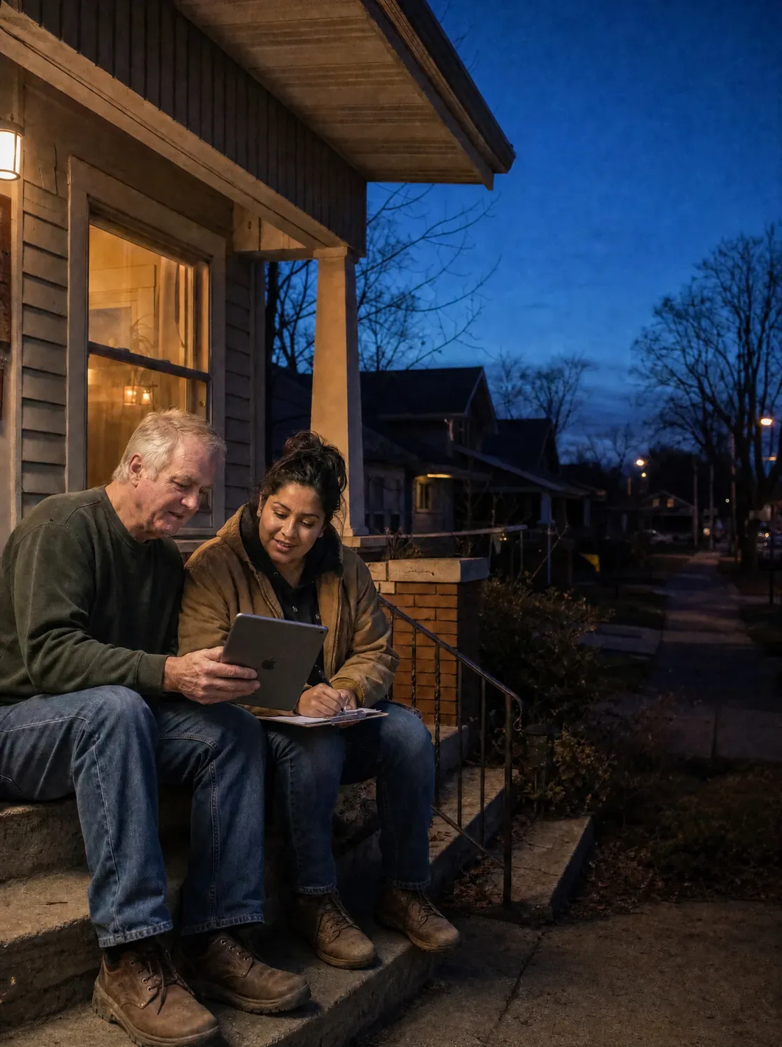
Keep important project details close so your next conversation with a contractor, neighbor, or surveyor can start with useful context about the property.
Reopen the parcel and review mapped parcel lines, lot size, and other details when you need them.
Save locations and add notes and photos to keep track of ideas, measurements, and areas that matter.
Share parcel details with contractors, family, or neighbors so everyone can work from the same information.
LandGlide keeps saved locations, land cover, location, mailing address, sales history, value, building, address, and parcel ID.
A clearer view of your property
For homeowners and DIYers, the value goes beyond having property data. LandGlide helps you understand your parcel, plan projects with more context, and keep important details close from the first idea through the finished project.
View mapped parcel lines and neighboring properties to better understand how your property relates to the land around it.
Measure distances and areas before you buy materials or bring in help.
Bring parcel details into conversations with contractors, neighbors, and surveyors.
Save locations, notes, and photos so your project details are easy to find.
A clearer understanding of your parcel and the properties around it can help you plan with more confidence. LandGlide gives you useful property context for projects and conversations while helping you know when more precise information, such as a professional survey, may be needed.