Lucinda Striker, Realtor
Lucinda Striker uses LandGlide to search by Parcel ID for new construction and land, view property lines, and better understand multi-acre properties.
View Case StudyHow Lynn Butterfield uses LandGlide to guide clients across remote properties, show boundaries in the field, and bring parcel context into real estate conversations.

Lynn Butterfield Real estate broker
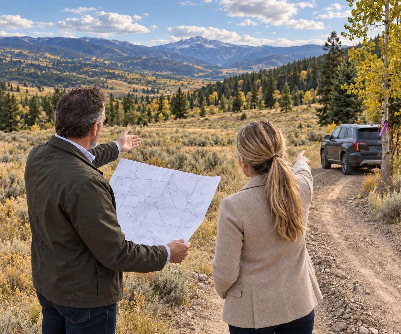
Remote land is hard to explain from a plat map. In markets like Park City, Lynn often works with remote properties where directions can be informal and boundaries are difficult to understand on site. Before LandGlide, he described relying on plat maps and trying to match them to the land in front of him while clients asked where the property actually ended.
You will ask the listing agent, “how do I find your property?” They would give directions like “go this far down a dirt road and look for the purple ribbon on a tree.”
With LandGlide, Lynn can pull up the property, show the client their location on the map, and walk them around the corners of the parcel. Instead of trying to interpret a static map, the client can see their position, the property lines, and nearby context while standing on the land.
Now with LandGlide, I can pull up a property and I say “see this dot? this is where we are” and then I will walk them around to the corners of the property.
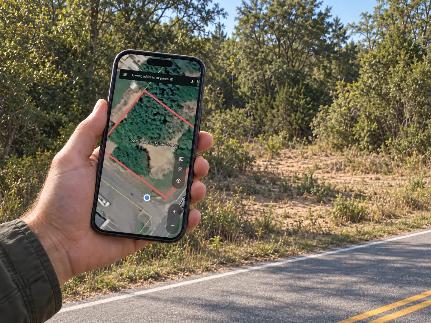
Lynn uses LandGlide to help clients understand where the property lines are, how the land sits in relation to neighboring properties, and whether the parcel supports the view or layout they want. The product becomes a shared point of reference during the conversation.
Clients can follow along as Lynn moves around the property, corner to corner.
The map helps show how the parcel relates to neighboring homes and surrounding land.
Clients can better understand whether the property lines up with what they want.
The answer happens on site, while the client is still looking at the land.
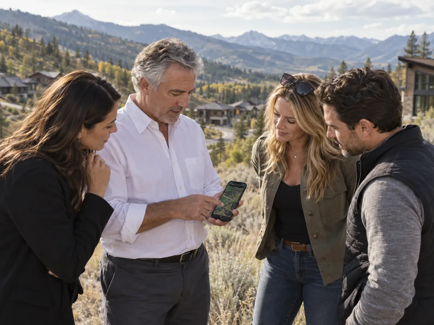
After seeing how much LandGlide helped his own business, Lynn brought it to the attention of the Park City MLS board members. Today, hundreds of realtors are using LandGlide through the MLS’s Corporate Account subscription.
LandGlide did because it is a great product and it is something that benefits everybody in the MLS.
Read more stories about how people use LandGlide to understand parcels, answer questions, and work with land in the field.

Lucinda Striker uses LandGlide to search by Parcel ID for new construction and land, view property lines, and better understand multi-acre properties.
View Case Study
Marcus uses LandGlide during property inspections to confirm parcel boundaries, identify the correct address, and stay oriented while moving between sites.
View Case Study
Dana uses LandGlide to review ownership details, parcel IDs, lot context, and surrounding properties before walking a commercial site with clients.
View Case Study
Evan uses LandGlide to understand acreage, property lines, road frontage, and nearby parcels while evaluating large tracts of land.
View Case Study
Rachel uses LandGlide to quickly look up parcel ownership, mailing details, and property records when researching land opportunities.
View Case Study